The right aircraft can improve production efficiency, reduce operational risk, support better sensor performance, and help keep the project on schedule. The wrong aircraft can create problems with payload, endurance, mounting, power, crew workflow, or data quality.
That is why aircraft selection should be treated as a technical decision, not simply a scheduling decision.
Start with the mission, not the airplane
Every aerial survey project has different requirements. A small imagery collection over a city is very different from a wide-area LiDAR project, a long corridor mission, or a high-altitude regional mapping campaign.
Before selecting an aircraft, the operator should understand the required sensor, altitude, speed, coverage area, project location, terrain, airspace, weather window, and deliverable schedule. These factors determine what type of platform is appropriate.
A high-wing aircraft may be ideal for certain low and mid altitude missions because it offers strong downward visibility and efficient operating costs. A twin-engine aircraft may be a better fit for heavier payloads, longer endurance, higher altitudes, or missions requiring more cabin space and electrical capacity.
The best aircraft is the one that fits the job.
Sensor mounting and field of view matter
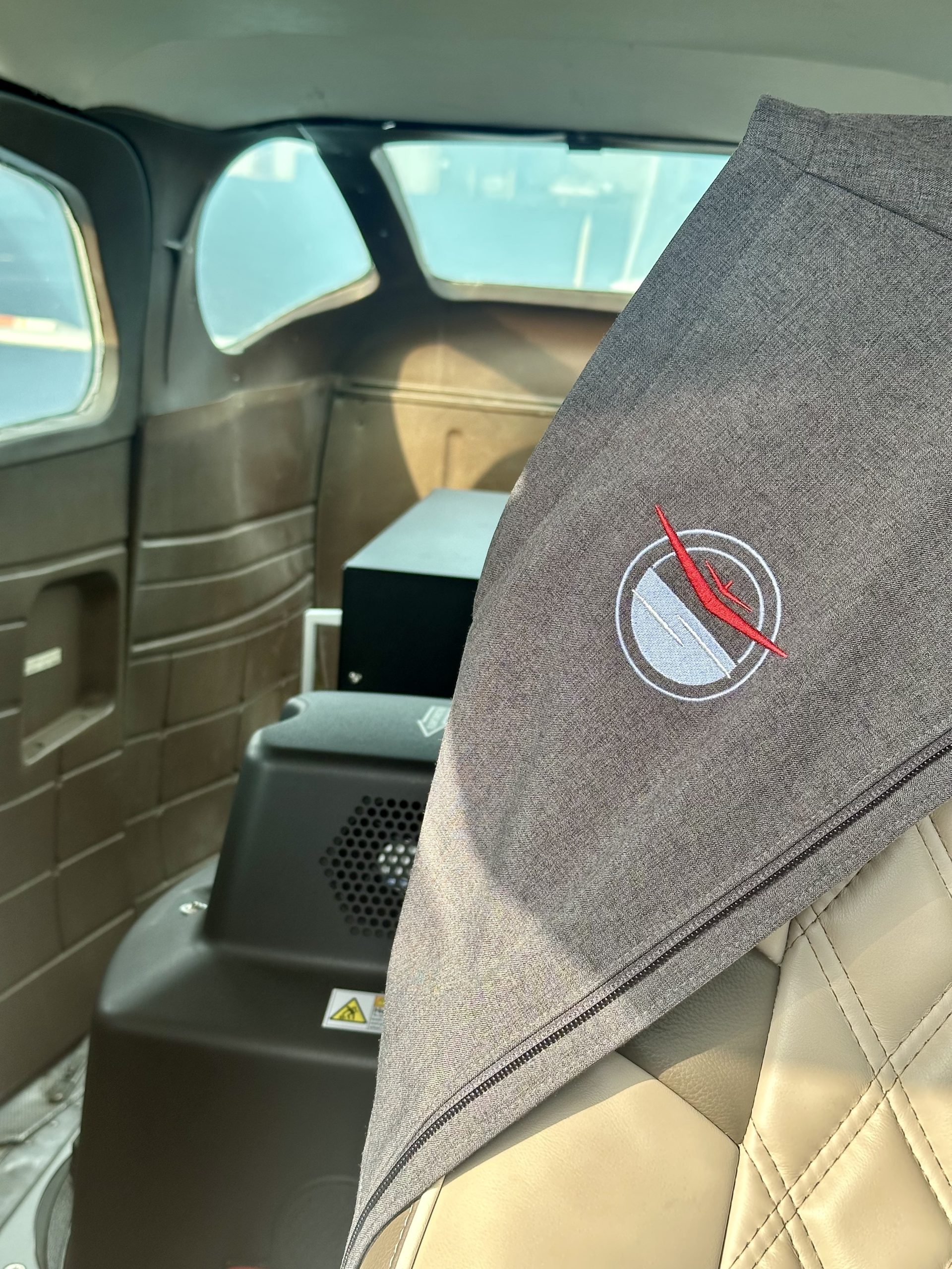
Survey sensors need a clean, stable, and properly positioned view of the ground. Camera holes, pod mounts, belly ports, and sensor stations are not minor details; they affect what sensors can be installed, how efficiently the installation can be completed, and how well the equipment performs in flight.
A camera hole that is too small, poorly located, or obstructed can limit sensor choice or compromise the collection geometry. A mounting area that lacks space or rigidity can complicate installation. A platform that does not support clean cable routing, equipment layout, and operator access can create unnecessary risk.
For modern aerial survey missions, aircraft configuration is just as important as aircraft performance.
Payload and endurance drive productivity
Payload determines whether the aircraft can safely carry the sensor, mission equipment, crew, and fuel required for the job. Endurance determines how much productive flying can be completed before returning to base.
A project that looks simple on a map can become inefficient if the aircraft has to stop frequently for fuel or cannot carry the desired sensor configuration. This is especially important for large-area mapping, multi-state projects, or missions far from convenient support airports.
Production efficiency is not only about speed. It is about how much useful data collection can be completed during each weather window.
Mission power is often overlooked
Advanced sensors can require reliable aircraft electrical power. Large-format imaging systems, LiDAR sensors, stabilization equipment, computers, and supporting electronics may place significant demand on the aircraft electrical system.
A capable survey aircraft should provide stable mission power that matches the sensor requirements. Insufficient or unreliable power can cause delays, equipment limitations, or operational risk.
This is why Helios evaluates mission power as part of aircraft readiness. The aircraft must support the complete system, not just the flight.
Crew workflow affects safety and quality
Aerial survey missions often involve a pilot, sensor operator and mission equipment. Cabin space, visibility, noise, comfort, equipment access, and communication all affect crew performance.
Long survey flights can be repetitive and demanding. A platform that supports a practical crew workflow helps reduce fatigue and improves mission execution. For complex projects, the ability to comfortably accommodate equipment and people can make a real difference.
Aircraft reliability protects the schedule
Aerial survey projects are often tied to narrow weather windows, seasonal conditions, ground crew schedules, environmental requirements, or regulatory limitations. Aircraft downtime can quickly become a project issue.
That is why airworthiness, maintenance coordination, and dispatch reliability matter. A low-cost platform that cannot reliably support the schedule may become more expensive than a better-prepared aircraft.
Helios places strong emphasis on mission-ready aircraft, experienced crews, and maintenance oversight because reliability is part of the deliverable.
The right platform creates better outcomes
Choosing the right aircraft is one of the most important decisions in aerial data acquisition. The platform must support the sensor, the mission profile, the crew, and the schedule.
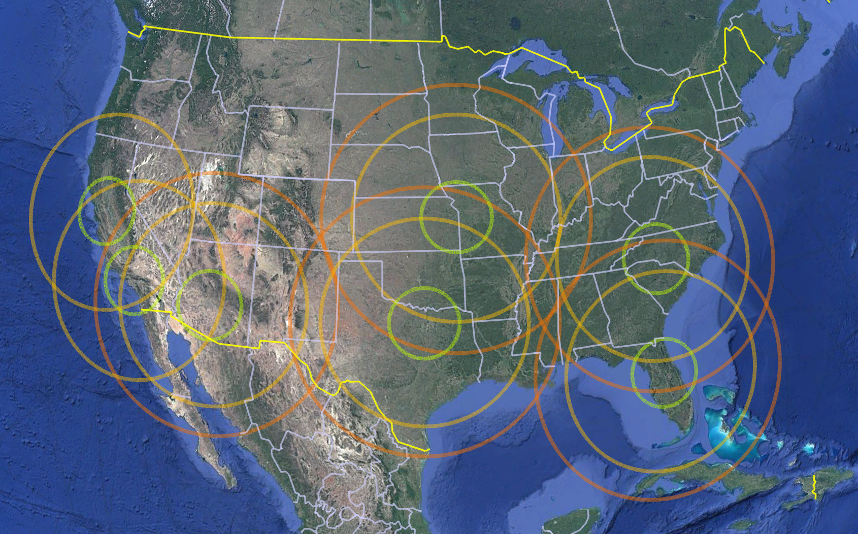
At Helios, we provide access to a flexible fleet and nationwide network of aircraft options, including high-wing platforms and multi-engine aircraft suited for advanced imagery and LiDAR missions. Our role is to help clients match the mission to the right aviation solution—so the data can be collected safely, efficiently, and correctly.
Aerial survey success starts with the right platform.
Happy flying out there!