

A successful aerial survey mission does not begin when the aircraft lifts off the runway. It begins days—or sometimes weeks—earlier, during planning.
In aerial data acquisition, the quality of the final deliverable is closely tied to the quality of the operational plan. The aircraft, sensor, crew, weather window, airspace strategy, ferry schedule, maintenance readiness, and communication plan all have to work together. When any one of those pieces is overlooked, the project can lose time, increase cost, or require costly reflights.
At Helios Airborne Solutions, we approach each mission as an integrated operation. Aerial survey is not simply about putting an aircraft over a project area. It is about creating the right conditions for accurate, repeatable, and efficient data collection.
Mission requirements come first
Every project starts with a clear understanding of the client’s objective. Is the mission focused on high-resolution imagery, LiDAR, corridor mapping, infrastructure assessment, vegetation analysis, or a combination of datasets? Each use case affects the aircraft platform, sensor configuration, altitude, speed, flight line spacing, timing, and crew requirements.
For example, a large-area imagery project may require endurance, production efficiency, and careful sun-angle planning. A corridor LiDAR mission may require tighter flight planning, terrain awareness, and a platform that can support stable, repeatable collection along narrow routes. A multi-sensor project may require additional planning around payload, mission power, and onboard equipment layout.
The better the mission is defined at the beginning, the smoother the operation becomes in the air.
Aircraft selection affects more than availability
Choosing an aircraft for aerial survey is not only about finding something available near the project site. The aircraft must fit the mission.
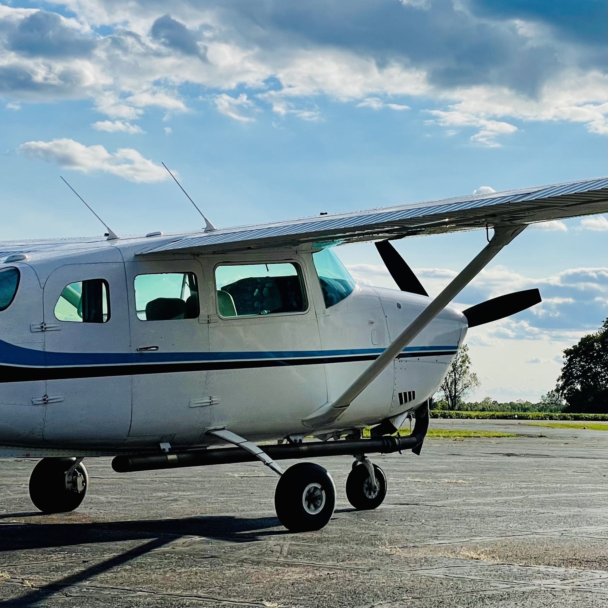
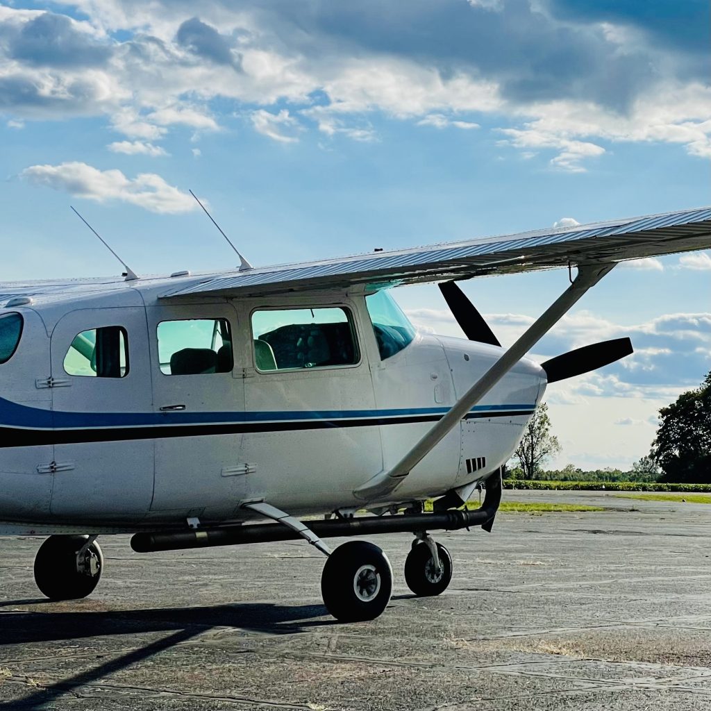
Important factors include endurance, payload, climb performance, sensor mounting options, camera hole configuration, cabin space, mission power, speed range, and the ability to operate safely in the required environment. A high-wing single-engine aircraft may be ideal for low- to mid-altitude mapping with a pod-mounted sensor. A multi-engine aircraft may be better suited for larger payloads, high-draw sensors, longer endurance, or more complex missions.
At Helios, aircraft selection is part of the overall project strategy. The goal is not simply to dispatch an airplane. The goal is to match the right aircraft and crew to the mission so the client receives reliable data without unnecessary operational friction.
Weather windows are important
Weather is one of the most important variables in aerial data acquisition. Clouds, haze, wind, turbulence, smoke, snow cover, leaf conditions, and sun angle can all affect collection quality. For LiDAR and imagery projects, a “flyable” day is not always a “collectable” day.
This is why mission planning must include realistic weather monitoring and communication. Clients need to know when conditions are improving, when an aircraft is positioned, and when a delay is protecting the quality of the final dataset rather than slowing the project down.
A disciplined operator understands that forcing a mission into poor conditions often creates bigger problems later. Good planning helps make the most of the right window when it appears.
Crew experience matters
Aerial survey flying requires more than general aviation experience. Survey pilots must understand flight lines, sensor requirements, altitude control, speed control, airspace coordination, and the importance of consistent execution. They need to be comfortable flying repetitive lines while maintaining situational awareness and safety discipline.
Crew readiness also includes communication with sensor operators, maintenance support, and project managers. The pilot is one part of a larger data acquisition workflow. When the crew understands the mission objective—not just the flight plan—the result is a better operation.
Communication reduces risk
Many project issues can be prevented through clear communication. Before a mission begins, the client, aircraft provider, pilot, sensor operator, processor, and project manager should understand the schedule, responsibilities, constraints, and decision points.
This includes questions such as:
- Who is monitoring weather?
- Who approves go/no-go decisions?
- Where will the aircraft be based?
- What is the response plan if the sensor has an issue?
- What airport best supports installation and removal?
- How will daily production be reported?
- What conditions trigger a hold, delay or refly?
Clear answers reduce confusion and keep the project moving.
Aerial survey is an operation, not a transaction
The difference between a successful aerial survey mission and a difficult one often comes down to planning discipline. Aircraft availability matters, but it is only one piece of the puzzle. The strongest results come from an operator who understands aviation, sensor integration, data requirements, logistics, and client communication.
Helios was built around that model: specialized aircraft, experienced crews, nationwide support, and a disciplined approach to mission execution. When the planning is right, the flight becomes more efficient, the data becomes more reliable, and the client gains confidence from takeoff through delivery.