
Skip to content
Skip to content
No results
  • About
  • Capacity
  • Contact Us
  • Fleet
  • Home
  • Network
  • News & Insights
    • Blog
  • Privacy Policy
  • Services
Helios Long with Name
  • About
  • Home
  • Services
  • Fleet
  • Network
Helios Long with Name
  • Aerial Survey & Flight Operations

Why Nationwide Aerial Survey Capacity Matters?
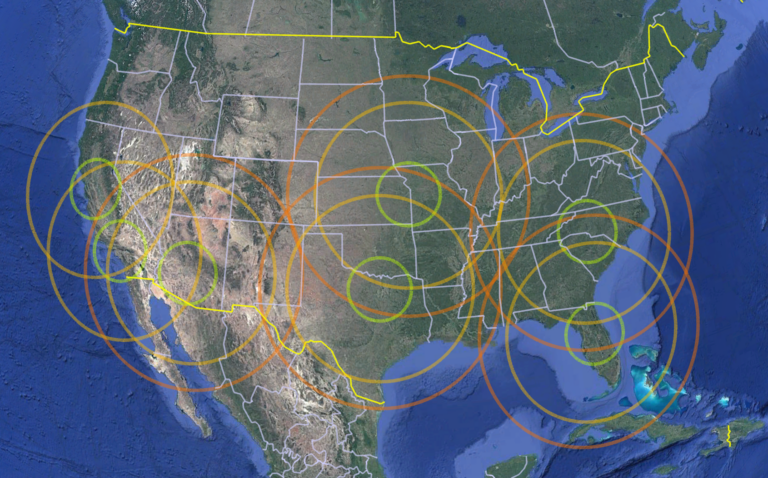
Aerial survey projects are becoming larger, more complex, and more time sensitive. Engineering firms, geospatial companies, public agencies, utilities, and infrastructure owners often need reliable data across broad geographic areas. In many cases, the challenge is not simply finding an…


  • Helios
  • May 27, 2026
  • Service Buying Guides

What “Turnkey Mapping” Really Means?

The phrase “turnkey mapping” is used often in the geospatial industry, but not every provider means the same thing by it. For some, turnkey simply means providing an aircraft and a sensor. For others, it may include data acquisition and…

  • Helios
  • May 26, 2026
  • Sensor & Airborne Platform

Choosing the Right Aircraft for Aerial Imagery and LiDAR Projects

The right aircraft can improve production efficiency, reduce operational risk, support better sensor performance, and help keep the project on schedule. The wrong aircraft can create problems with payload, endurance, mounting, power, crew workflow, or data quality. That is why…

  • Helios
  • May 26, 2026
  • Aerial Survey & Flight Operations

What Makes an Aerial Survey Mission Successful Before the Aircraft Ever Takes Off?

A successful aerial survey mission does not begin when the aircraft lifts off the runway. It begins days—or sometimes weeks—earlier, during planning. In aerial data acquisition, the quality of the final deliverable is closely tied to the quality of the…

  • Helios
  • May 25, 2026
LinkedIn Instagram Phone
  • Capacity
  • Fleet
  • Network
  • Services
  • Contact Us
  • News & Insights
  • Privacy Policy

Copyright © 2026 Helios Airborne Solutions.